Sun-Drenched Tuesday: Rex Block Brings Unseasonable Heat to the Valley
Morning: A Mild and Crisp Start
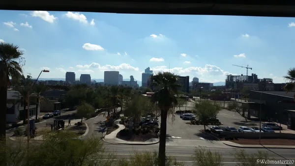
Phoenix residents waking up this Tuesday, February 3, 2026, will find a notably mild start to the day. Early morning temperatures are hovering around 62°F, which is significantly warmer than the typical chilly desert mornings expected this time of year. While the air remains dry, a few high-altitude clouds may drift across the horizon as the sun rises, though they will do little to block the intensifying winter sun. Light winds from the east at approximately 1-2 mph will keep the air feeling stagnant but comfortable for early commuters.
Afternoon: Early Spring-Like Peak Temperatures
By the afternoon, the impact of the current atmospheric setup will be felt across the entire Valley of the Sun. High pressure continues to dominate the weather pattern, pushing temperatures well above the seasonal average. Expect a daytime high reaching between 73°F and 79°F. Local meteorological data suggests that these afternoon highs are 8 to 14 degrees above the historical norm for early February. The lack of significant cloud cover and the presence of a 'Rex Block'—a high-pressure system centered over the Western U.S.—are working together to trap warmth and prevent any cooling storm systems from entering the region. Residents are encouraged to stay hydrated and apply sunscreen if spending extended time outdoors, as the UV index remains moderate.
Evening: Clear Skies and Gradual Cooling
As the sun sets over the White Tank Mountains, the desert heat will begin its slow retreat. However, thanks to the insulating effect of the day's high-pressure ceiling, the mercury will drop slowly. Evening temperatures are expected to settle back into the mid-60s by 8:00 PM, making it an ideal night for outdoor dining or evening walks. Skies are forecast to remain mostly clear throughout the night, with no threat of precipitation. The calm wind conditions observed throughout the day will persist, with gusts rarely exceeding 5 mph.
Warnings and Long-Range Outlook
There are currently no active rain or wind warnings for the Phoenix metropolitan area. Dry conditions remain the primary story for the first week of February. While the Old Farmer’s Almanac had previously suggested a chance for chillier moisture early in the month, current satellite imagery and National Weather Service updates confirm that the ridge of high pressure is firmly in control. This dry spell is expected to continue through the middle of the week, though climate models hint at a potential shift toward increased precipitation chances for the Western United States toward mid-month.