Record-Breaking Heatwave: Phoenix Sizzles as Mercury Hits 93 Degrees
Unseasonable Heat Grips the Valley
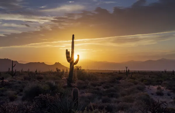
Residents of the Valley of the Sun are waking up to an extraordinary Saturday, February 28, 2026, as a powerful high-pressure system settles over the region. While late February typically offers mild desert temperatures in the low 70s, today’s forecast is anything but average. Phoenix is expected to shatter long-standing daily records as mercury levels soar into the low 90s, marking one of the warmest ends to February in recent history.
Saturday Morning: A Rapid Warm-Up
The morning begins with a relatively mild low of 62°F, but the desert air will heat up quickly under clear, cloudless skies. By 10:00 AM, temperatures are expected to climb through the 70s and into the low 80s. Outdoor enthusiasts and those visiting local farmers' markets are encouraged to complete their activities early, as the transition from morning coolness to intense afternoon heat will be significantly faster than usual for this time of year.
Afternoon Peak: Minor HeatRisk in Effect
The National Weather Service has issued a Minor HeatRisk warning for Phoenix and the surrounding lower deserts as the afternoon high reaches a staggering 93°F. This peak is expected between 2:00 PM and 4:00 PM. According to regional meteorologists, this marks the first time Phoenix has reached the 90-degree threshold this year. Because the community is not yet acclimated to such high temperatures, the risk of heat-related illness is elevated for sensitive groups. Key features of the afternoon forecast include:
- Peak Temperature: 93°F, approximately 20 degrees above the historical average.
- Sky Conditions: 100% sunshine with zero percent chance of precipitation.
- UV Index: Moderate to High; sunscreen is essential for any outdoor exposure.
Evening Outlook: Mild and Clear
As the sun sets over the White Tank Mountains, the intense heat will begin to radiate away, but the evening will remain uncharacteristically warm. Temperatures will linger in the mid-70s well into the night before eventually settling toward a low of 62°F. It will be a perfect evening for patio dining, though the lack of a significant breeze means the air may feel stagnant in urban heat islands.
Safety and Precautions
With record-breaking temperatures likely to be tied or broken throughout the weekend, residents are urged to take standard heat precautions. There are no warnings for rain or high winds today, but the Minor HeatRisk remains the primary concern. Hydration is critical, and those planning to hike Camelback Mountain or Piestewa Peak should be off the trails by mid-morning to avoid the peak solar radiation. The unseasonable heat is expected to persist through Sunday before a low-pressure system arrives next week to offer slight relief.

Match Day: Phoenix Suns Take Center Stage as Cactus League Action Sizzles
Windy Skies and Western Traditions: Your Thursday Phoenix Morning Briefing