High pressure shift over Arizona may cool Phoenix after 80-degree highs, forecast shows this week
Warm start to February continues in the Valley
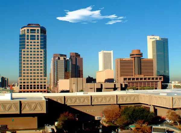
Phoenix is moving through another stretch of unseasonably warm early-February weather, with afternoon highs reaching the 80s at a time when typical daytime temperatures are usually in the low 70s. Forecasters attribute the warmth to a high-pressure pattern over the Desert Southwest that has favored sunny skies and limited cloud cover.
That same high-pressure setup is expected to change position during the workweek, a shift that could bring temperatures closer to seasonal levels across the Phoenix metro area and other lower desert communities.
What changes in the pattern mean for temperatures
High pressure acts like a lid in the atmosphere, generally promoting sinking air, fewer clouds, and warmer afternoons. When the center of high pressure moves away—or weakens—temperatures can ease as the atmosphere becomes more supportive of cooler air aloft and increased cloud cover. Forecast guidance indicates the ridge responsible for the recent warmth will not remain locked in place through the entire week.
The expected result is a gradual cooling trend, with Phoenix likely sliding back from the 80s toward the 70s later in the week. The change is expected to be noticeable but not abrupt, with no indication of a major cold outbreak for the lower deserts.
Rain chances remain limited, but not zero
As the high-pressure ridge relaxes, the atmosphere can become more receptive to weak disturbances moving through the region. Forecasts for Arizona later this week allow for some increase in clouds and, at times, a low-end chance of spotty showers—most likely favoring higher terrain and locations north and east of the Phoenix area. For the Valley itself, any precipitation signal remains modest and uncertain at this range.
What residents should watch day to day
- Afternoon highs running well above average early in the week, with many Valley neighborhoods in the 80s.
- A midweek to late-week dip in temperatures as the high-pressure center shifts, bringing readings closer to normal.
- Periods of additional clouds and a small, conditional chance of light showers later in the week.
Seasonal context: Phoenix’s typical February average high is about 71°F, and the city averages only a handful of 80-degree days during the month.
Forecast confidence is highest for the overall temperature trend—warm early, cooler later—while confidence is lower regarding whether any showers reach the Phoenix metro area. Updates to daily forecasts and short-term outlooks will refine timing and the magnitude of the cooldown.