Breezy Skies and Morning Showers: Navigating Friday’s First Alert Weather Day in Phoenix
A Chilly Start to the Weekend
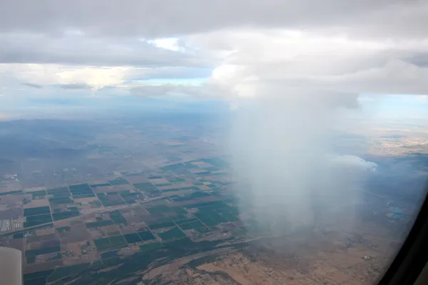
Phoenix residents are waking up to a shift in the atmosphere this Friday, February 20, 2026, as a fast-moving cold front sweeps across the region. After a week that saw significant rainfall earlier on Tuesday, today’s weather system continues the trend of unsettled conditions. National Weather Service data indicates that this cold front will maintain below-normal temperatures throughout the day, officially marking this as a First Alert Weather Day for the Valley.
Morning Precipitation and Temperature Outlook
The morning hours are expected to see the bulk of the day's moisture. As the cold front pushes through Central Arizona, scattered showers are likely, particularly during the early commute. Forecast models predict approximately 0.16 inches of rainfall for the Phoenix metro area. While the precipitation is expected to be relatively light compared to earlier in the week, damp roads and localized puddling could impact travel times. Temperatures will remain brisk, starting in the mid-40s and struggling to climb as the cloud cover persists into the late morning.
Afternoon Wind Advisories and Highs
By the afternoon, the focus shifts from rain to wind. A widespread weather system is reintroducing breezy to windy conditions across the lower deserts. Residents should prepare for sustained winds with gusts reaching between 25 and 40 mph. In higher terrain and ridgetops surrounding the Valley, Wind Advisories are in effect as gusts could reach up to 60 mph. Despite the occasional appearance of the sun, the mercury will peak at a high of only 64°F, which is several degrees below the seasonal average for late February.
- Morning High: 54°F with scattered showers.
- Afternoon Peak: 64°F with wind gusts up to 40 mph.
- Evening Low: 43°F under clearing skies.
Evening Transition and Weekend Preview
As the sun sets at 6:16 PM, the wind is expected to taper off, though a lingering chill will remain. The overnight low is projected to drop to a crisp 43°F, so heaters and extra layers will be necessary for anyone heading out for Friday evening plans. The good news for outdoor enthusiasts is that this system is expected to move out quickly. Drier air will return to the region by Saturday, with temperatures beginning a rapid rebound toward the 70s by tomorrow and potentially reaching the low 80s by Sunday. For today, however, keep the windbreaker and umbrella close at hand.